
R-329 · Route File
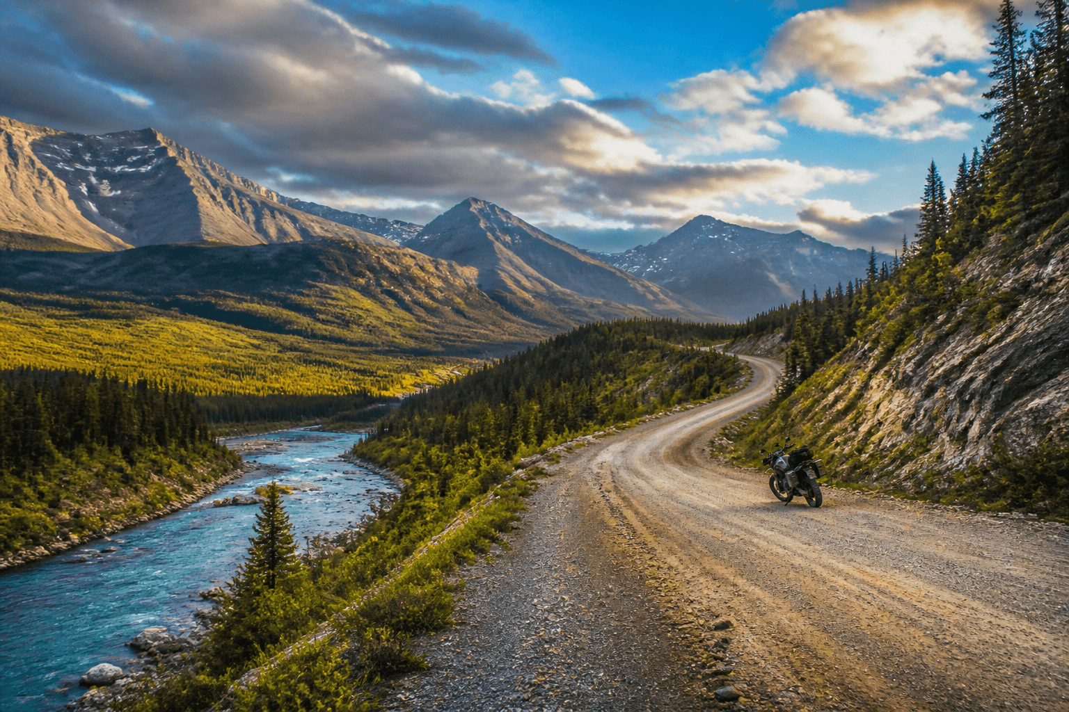
Ozark Highlands Scenic Byway
Ozark National Forest, Arkansas · United States
The official 35-mile Arkansas Highway 21 scenic section from north of Clarksville through the Boston Mountains toward Buffalo National River.
- Primary window
- Spring and autumn preferred for motorcycles
- References
- 8
- Coverage
- established
- Reviewed
- Jul 2026
Route tire evidence
Tires reported on Ozark Highlands Scenic Byway
No reviewed tire observation is published for this route.
No tire name is inferred from route popularity, forum mentions or marketing. A report appears only after its tire, motorcycle, route context, date and named source are reviewed.
Route-specific references
Sources for Ozark Highlands Scenic Byway
Information tied directly to this road, track or route.
Roads and access
Maps and navigation
Ozark Highlands Scenic Byway
official · Recreation.gov
Federal corridor description, navigation and national-forest access context
Ozark Highlands Scenic Byway map
commercial · Google Maps
Route-specific alignment, approach-road and nearby-service lookup; confirm the selected road
Ozark Highlands Scenic Byway open map
community · OpenStreetMap
Independent route, settlement and approach-road lookup
Regional reference desk
Authorities covering the wider journey
Shared road, weather and access services used across Route Files in this region.
Weather
National Weather Service forecasts and warnings
official · National Weather Service
Official storm, flood, heat, wind, winter and severe-weather warnings
National Water Prediction Service
official · National Oceanic and Atmospheric Administration
Official river observations, forecasts and flood status for route planning
Roads and access
Emergency and medical
Field Links are reviewed references, not live guarantees. Conditions, closures, services and regulations change. Confirm critical information with the responsible authority before relying on it.